
Aerial Photogrammetry & LiDAR Mapping
Accurate maps, point clouds and 3-D models of sites and corridors, captured with drone photogrammetry and LiDAR.
What it is
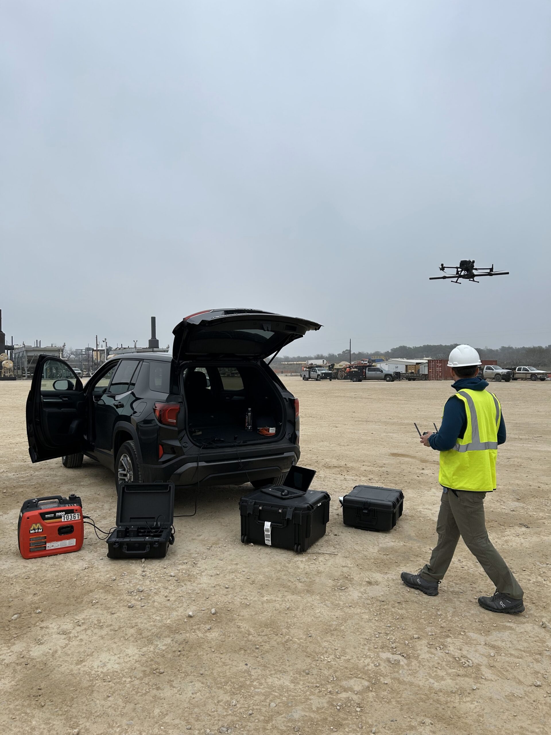
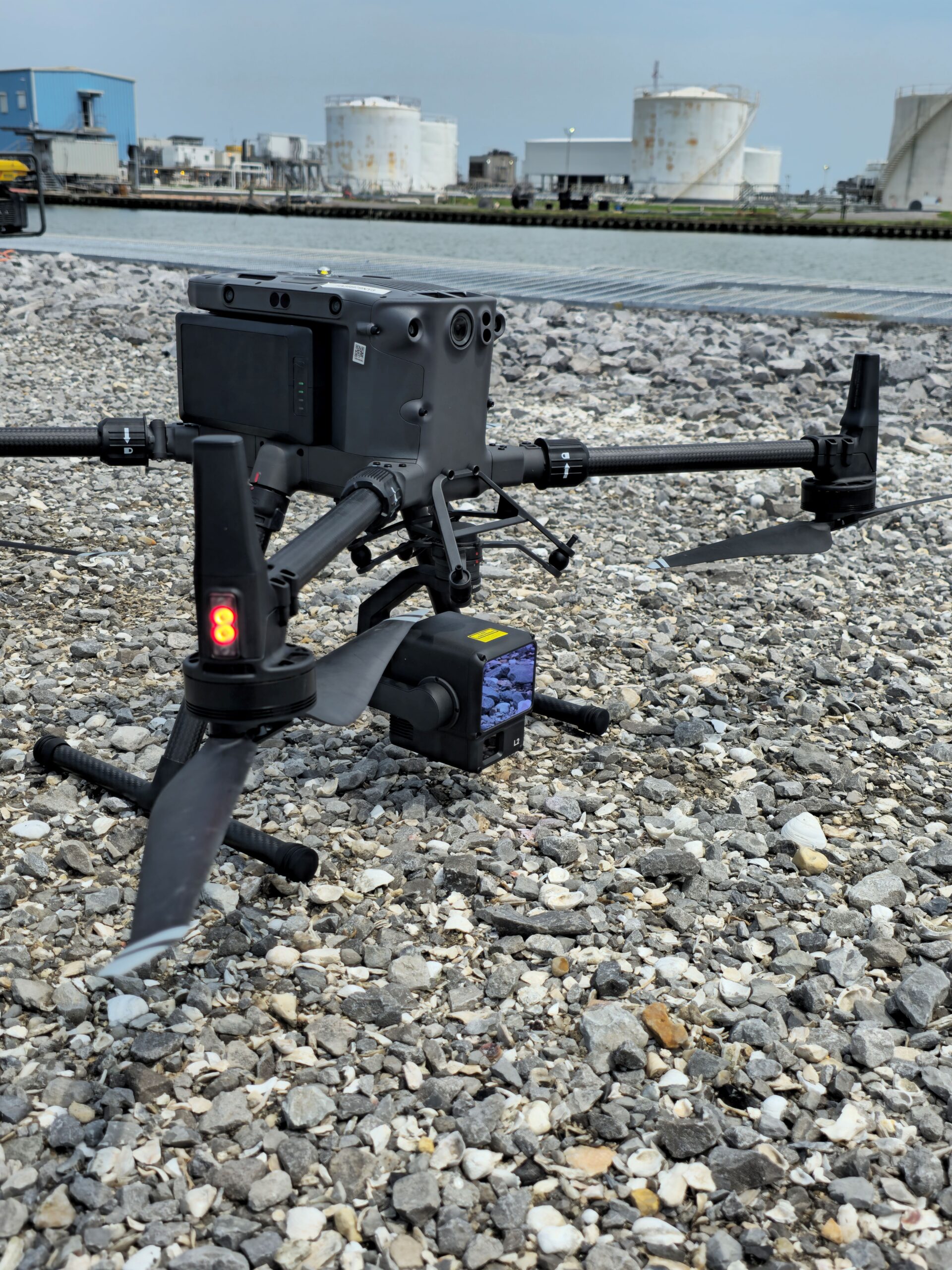
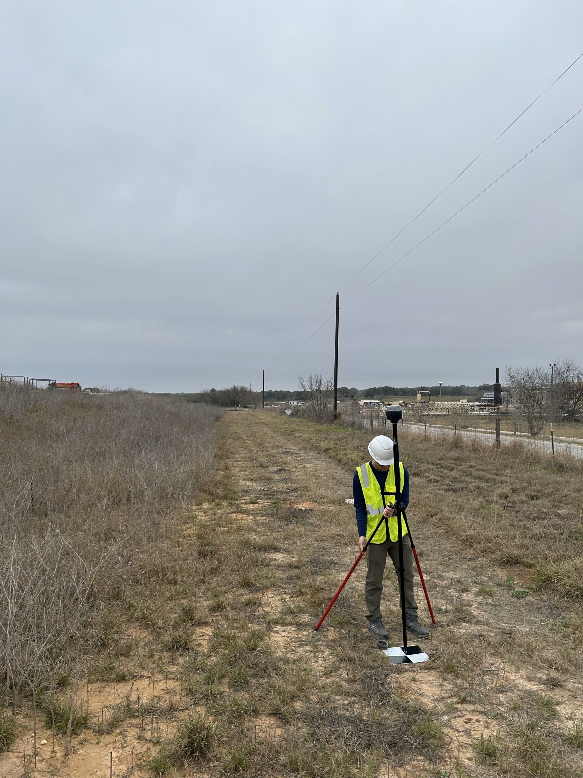
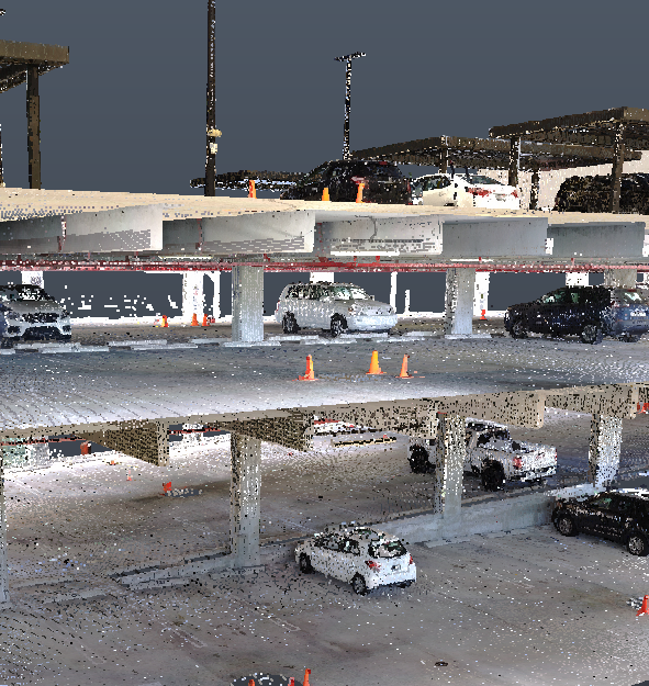
Our team has years of experience mapping large areas, highway corridors and utility corridors. Drone photogrammetry turns overlapping aerial photos into accurate orthomosaic maps and 3-D models, while drone-mounted LiDAR measures the ground and structures directly, even beneath vegetation. Capturing from the air is faster and safer than covering the same ground on foot, and the results are ready for planning, design and construction teams.
What’s included
- Orthomosaic maps
- Point clouds and surface and terrain models
- 3-D site and building models
- Corridor mapping for highways and utilities
- Measurements and data in formats your team can use
Who it’s for
- Engineering and survey firms
- Public agencies and utilities
- Developers and contractors planning new sites

Ready to get started?
Tell us about your building or site and we’ll get back to you shortly. You can also call (727) 558-1678 or email Dylan@1di-geospatial.com.