
Magnetometry
Geospatial insight below the surface, helping locate buried features such as pipelines and abandoned wells.
What it is
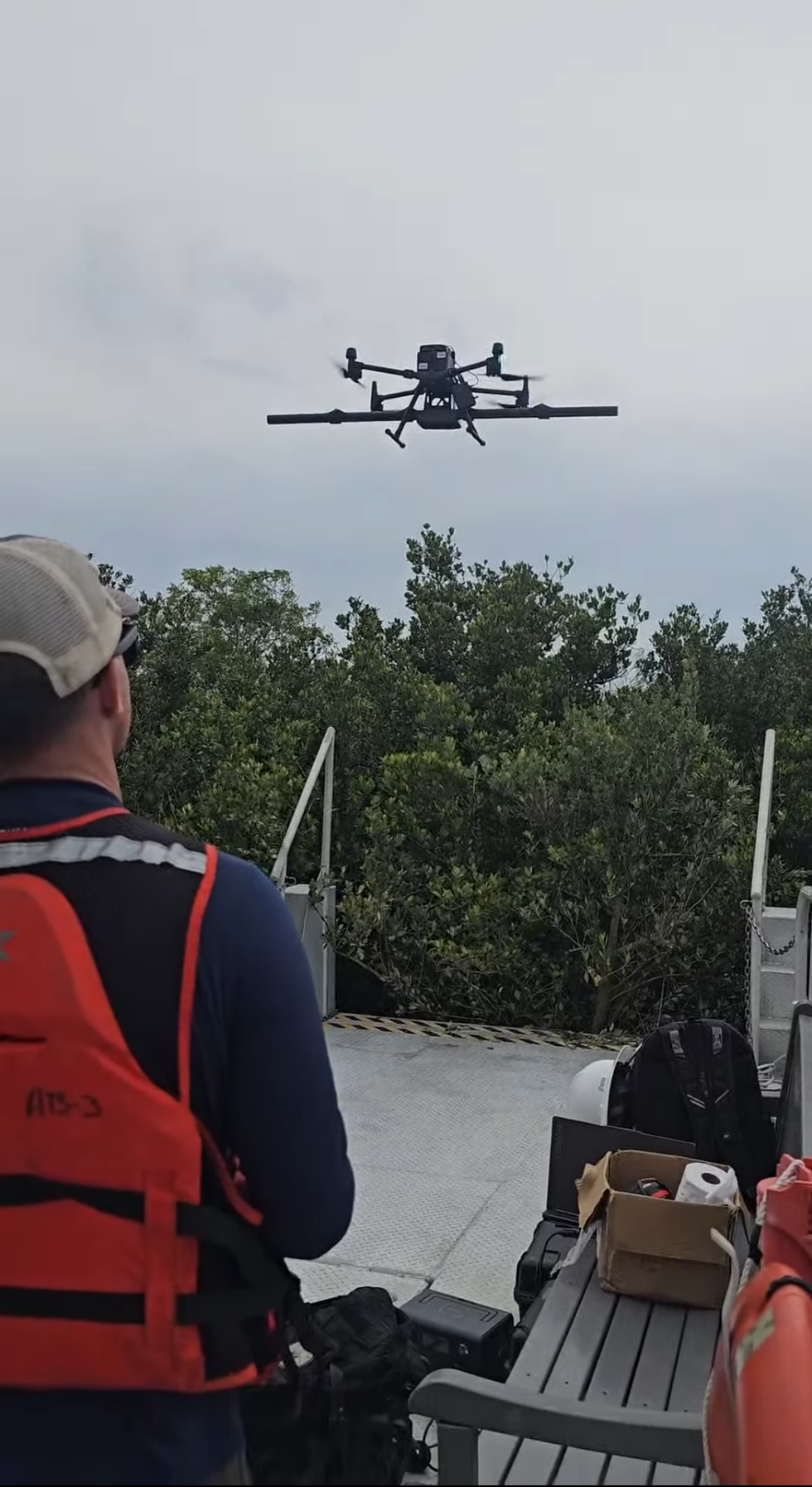
Magnetometry measures small changes in the magnetic field caused by buried metal objects. We collect high- and low-frequency magnetometer data to help locate pipelines, abandoned wells and similar features, then map and model the results.
What’s included
- High- and low-frequency magnetometer data collection
- Maps of detected anomalies
- Models to support further investigation
- Data that pairs with aerial mapping
Who it’s for
- Environmental and engineering firms
- Utility and energy operators
- Landowners and developers
Ready to get started?
Tell us about your building or site and we’ll get back to you shortly. You can also call (727) 558-1678 or email Dylan@1di-geospatial.com.