
Terrestrial Scanning & Scan-to-BIM
Detailed scans of buildings inside and out from terrestrial LiDAR, delivered as point clouds, Revit models, elevation drawings and measurements.
What it is
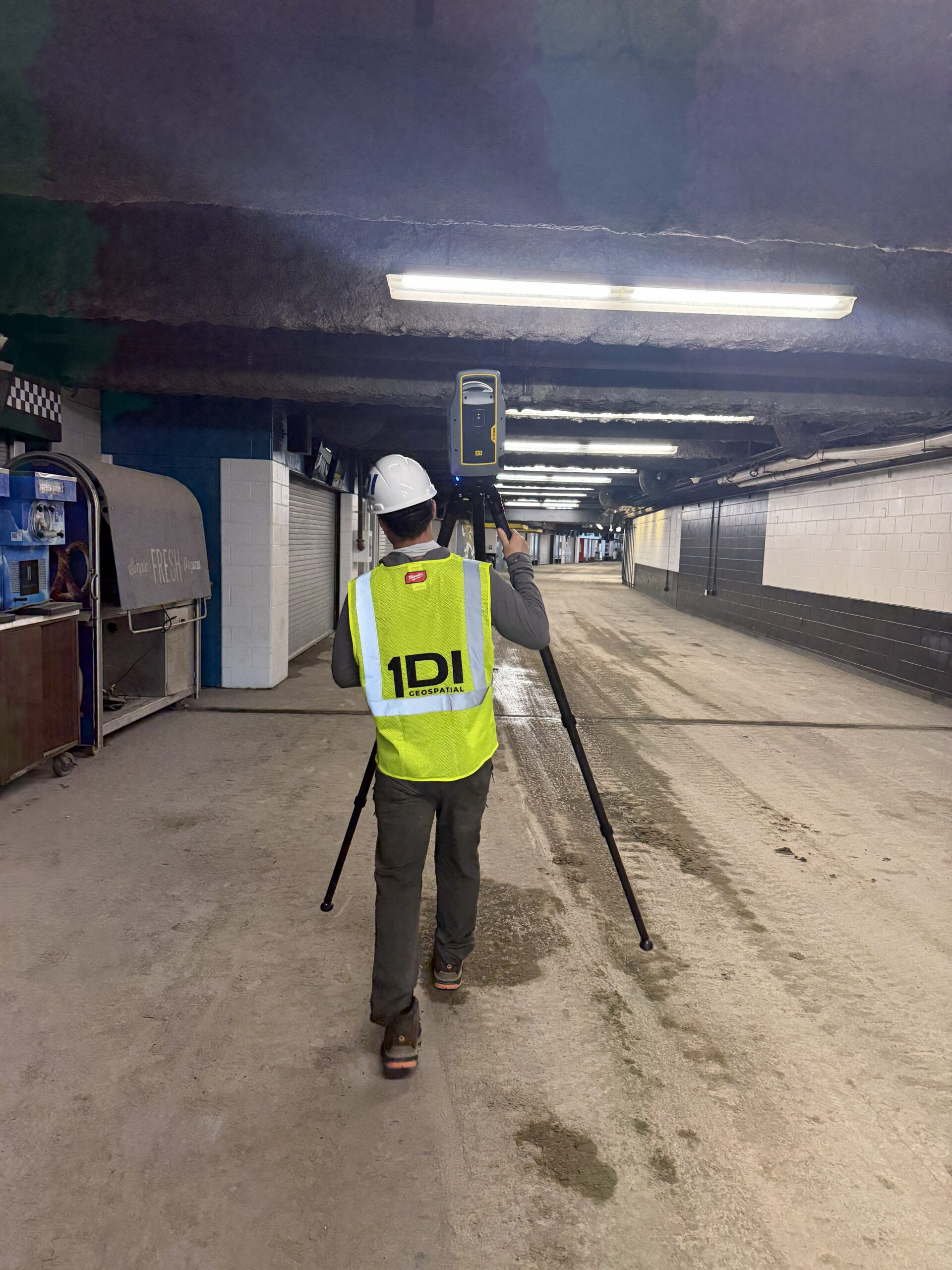
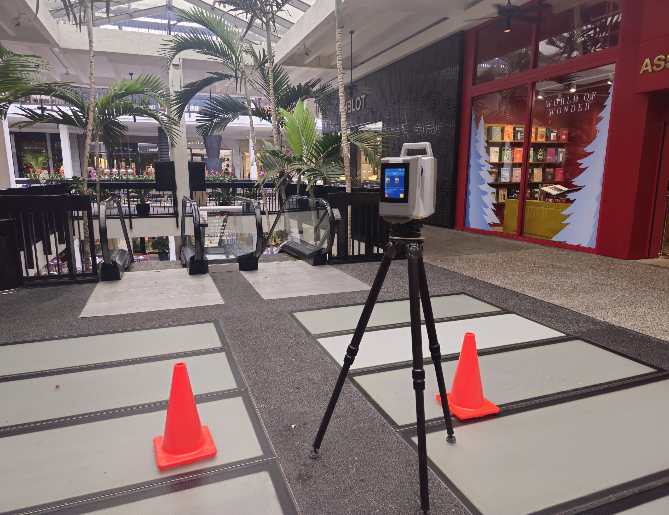
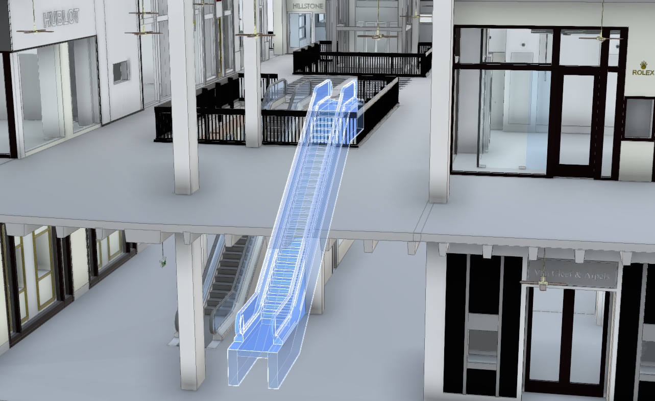
Terrestrial LiDAR scanners capture millions of precise measurements from the ground and indoors, reaching areas a drone can’t, such as interiors, storefronts and covered walkways. We register those scans into a complete point cloud and turn it into what your team needs: Scan-to-BIM Revit models, 2-D elevation drawings, as-built documentation and accurate measurements of roofs, windows, doors and siding.
What’s included
- Terrestrial LiDAR scanning of exteriors and interiors
- Registered point clouds
- Scan-to-BIM Revit models
- 2-D elevation drawings and as-built documentation
- Measurements for design, renovation and pricing
Who it’s for
- Architects and engineers planning renovations
- Contractors needing accurate as-built conditions
- Commercial, hospitality and facility owners documenting interior spaces

Ready to get started?
Tell us about your building or site and we’ll get back to you shortly. You can also call (727) 558-1678 or email Dylan@1di-geospatial.com.